Helicopter flight
Laguna Esmeralda
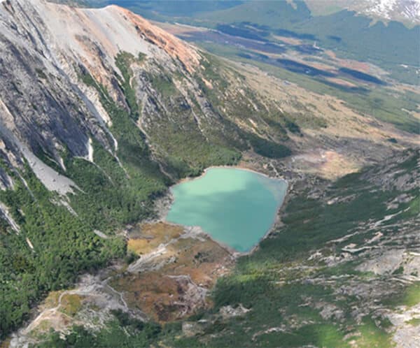
Fly above Tierra del Fuego valleys to see Laguna Esmeralda from the air.
Helicopter flight
Laguna Esmeralda
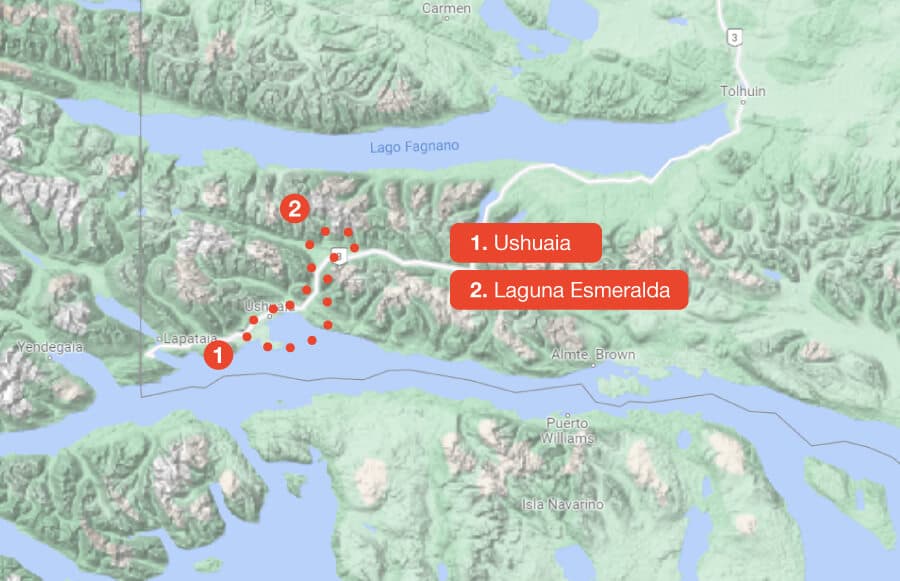
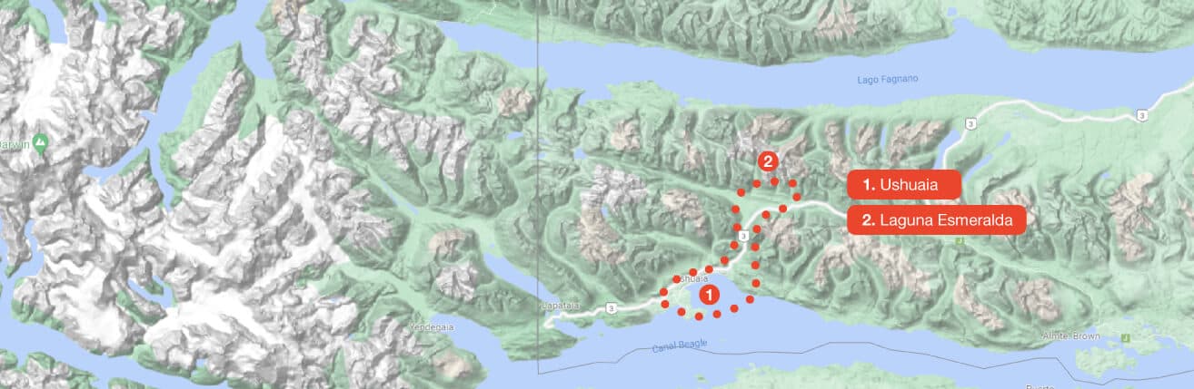
The route crosses Ushuaia Bay and enters the Río Olivia Valley between Mount Olivia and Mount Cinco Hermanos. It then flies above the peatlands of Carbajal Valley to reveal Laguna Esmeralda, whose colour changes with the seasons and turns white in winter.
- Mount Olivia and Mount Cinco Hermanos
- Carbajal Valley peatlands
- Laguna Esmeralda through the seasons
Flights operate year-round, weather permitting. Bring your camera and allow room in your schedule.
Interactive route
Explore the map, point by point
Every point is interactive. Select one to learn its story and see it up close.