Aerial expedition
Great Lakes
The Andes, lakes and hanging glaciers on a broad journey across Tierra del Fuego.
Aerial expedition
Great Lakes
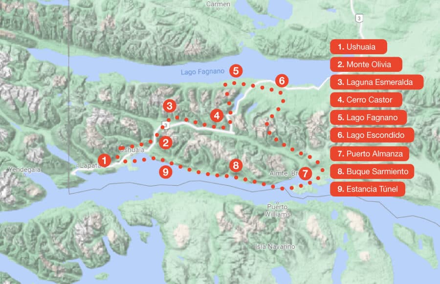
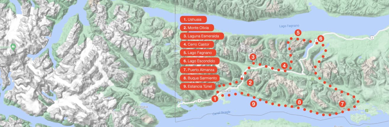
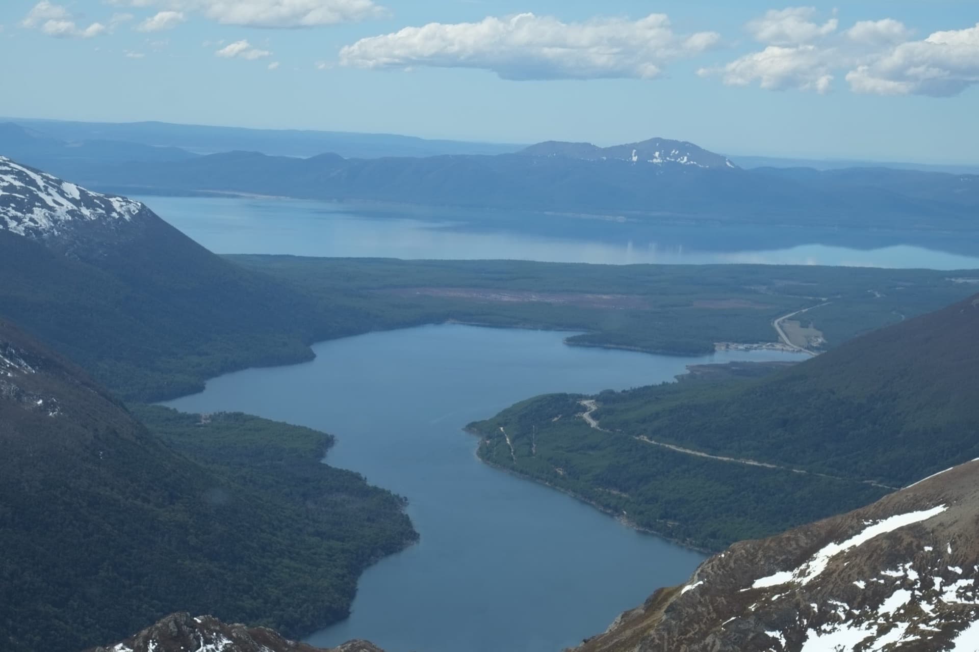
The flight connects Ushuaia Bay with the Olivia and Carbajal valleys, Laguna Esmeralda, Lago Escondido and the Santa Laura, San Ricardo and Margarita lagoons. It continues above Tolhuin and Lake Fagnano to Puerto Almanza, returns along the coast and ends with an Andes landing when operations allow.
- Laguna Esmeralda, Lago Escondido and Lake Fagnano
- Tolhuin, Cerro Cornú and Puerto Almanza
- Beagle coast and Andes landing
This is an extended excursion. Confirm the route and allow room for weather-related changes.
Interactive route
Explore the map, point by point
Every point is interactive. Select one to learn its story and see it up close.