Fuegian history
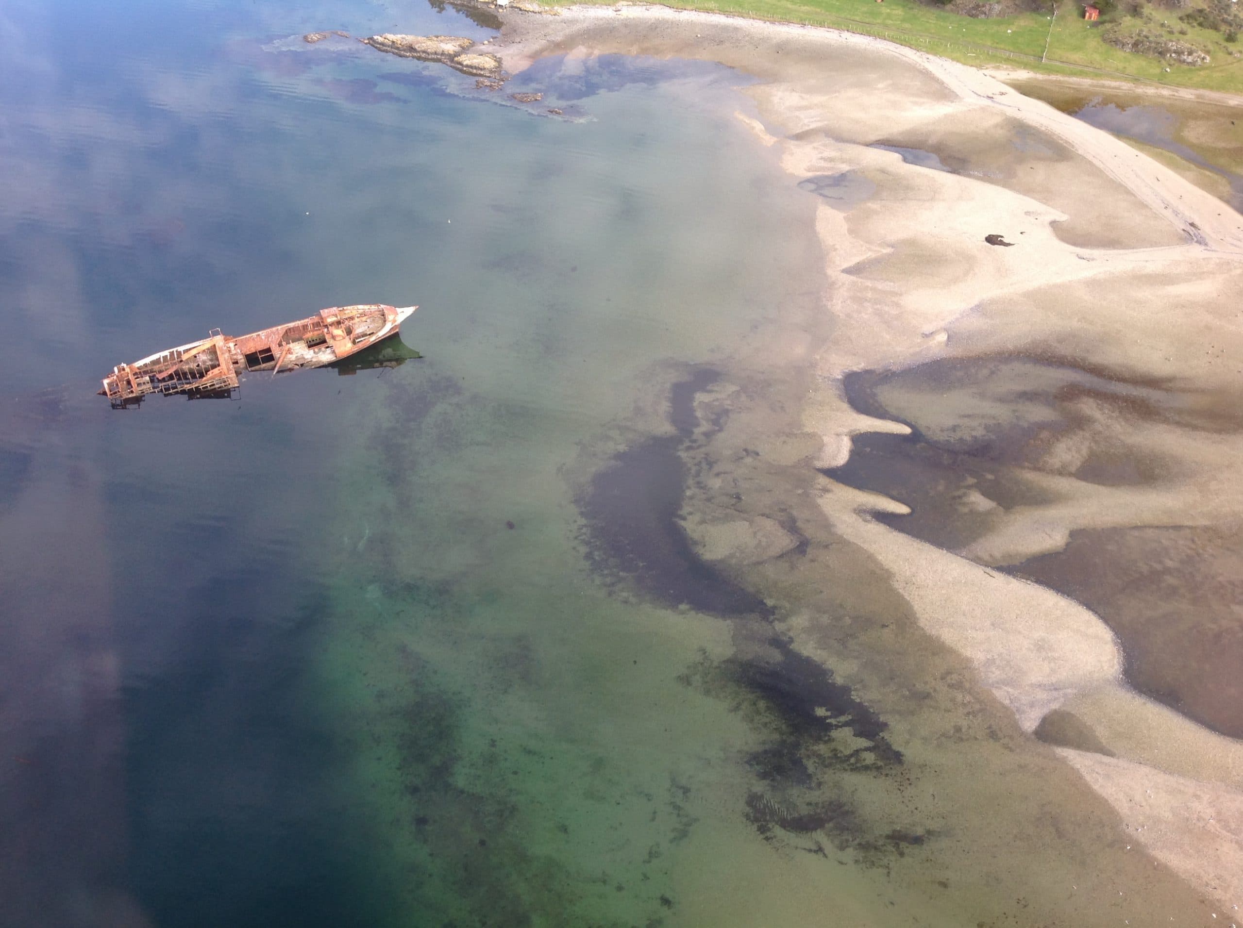
Sarmiento shipwreck
An aerial journey to the coast and the traces of navigation in the far south.
Fuegian history
Sarmiento shipwreck
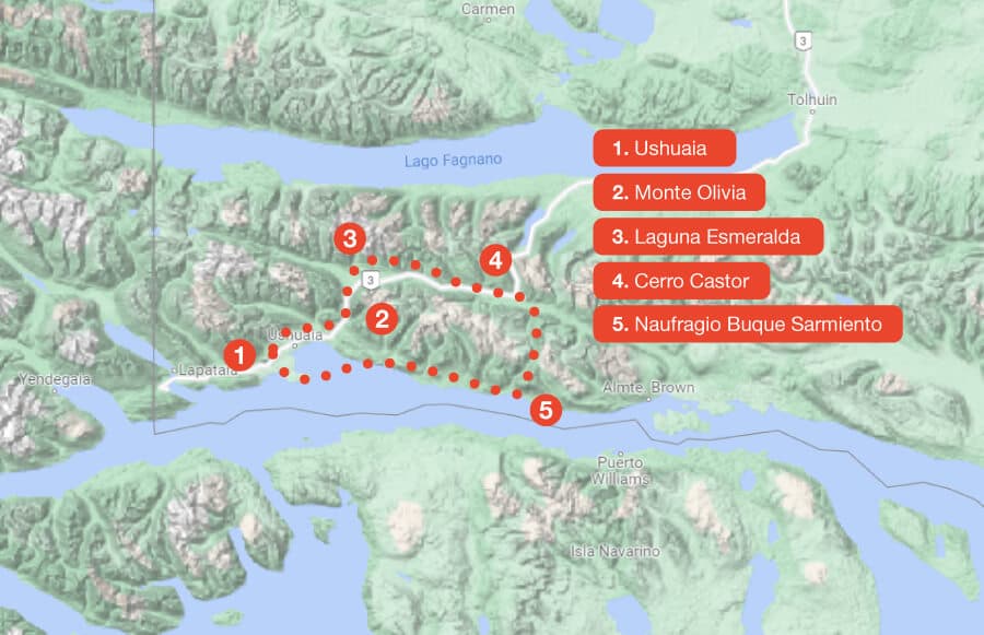
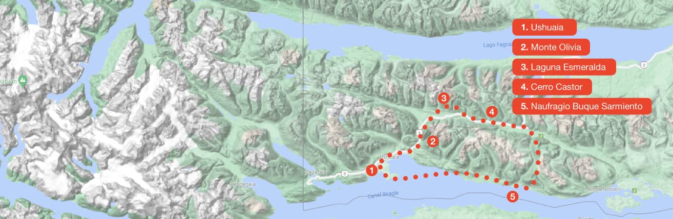
The itinerary links Ushuaia Bay, the Río Olivia and Carbajal valleys, Laguna Esmeralda and Cerro Castor. After a mountain landing and toast, the return follows the Río Remolino Valley to the Monte Sarmiento wreck, grounded since 1912, with views of Estancia Túnel and Les Eclaireurs Lighthouse.
- Laguna Esmeralda and Cerro Castor
- Andes landing and toast
- Monte Sarmiento and Les Eclaireurs Lighthouse
The experience operates year-round, but the route and landing depend on weather and the operational assessment.
Interactive route
Explore the map, point by point
Every point is interactive. Select one to learn its story and see it up close.